The Ranges Nobody Talks About - Until They Visit
Ask most Americans to name a mountain range and you'll hear the Rockies or the Appalachians within seconds. Both deserve their reputations. But the continental United States is laced with lesser-celebrated highlands - ancient, dramatic, ecologically rich - that reward travelers willing to look a little sideways at the map.
These aren't consolation prizes. The ranges below each offer something genuinely distinct: weird geology, rare wildlife corridors, Indigenous history, or a kind of quiet that's simply harder to find in more heavily visited parks. If you've ever felt like the obvious destinations were getting too crowded, this list is for you.
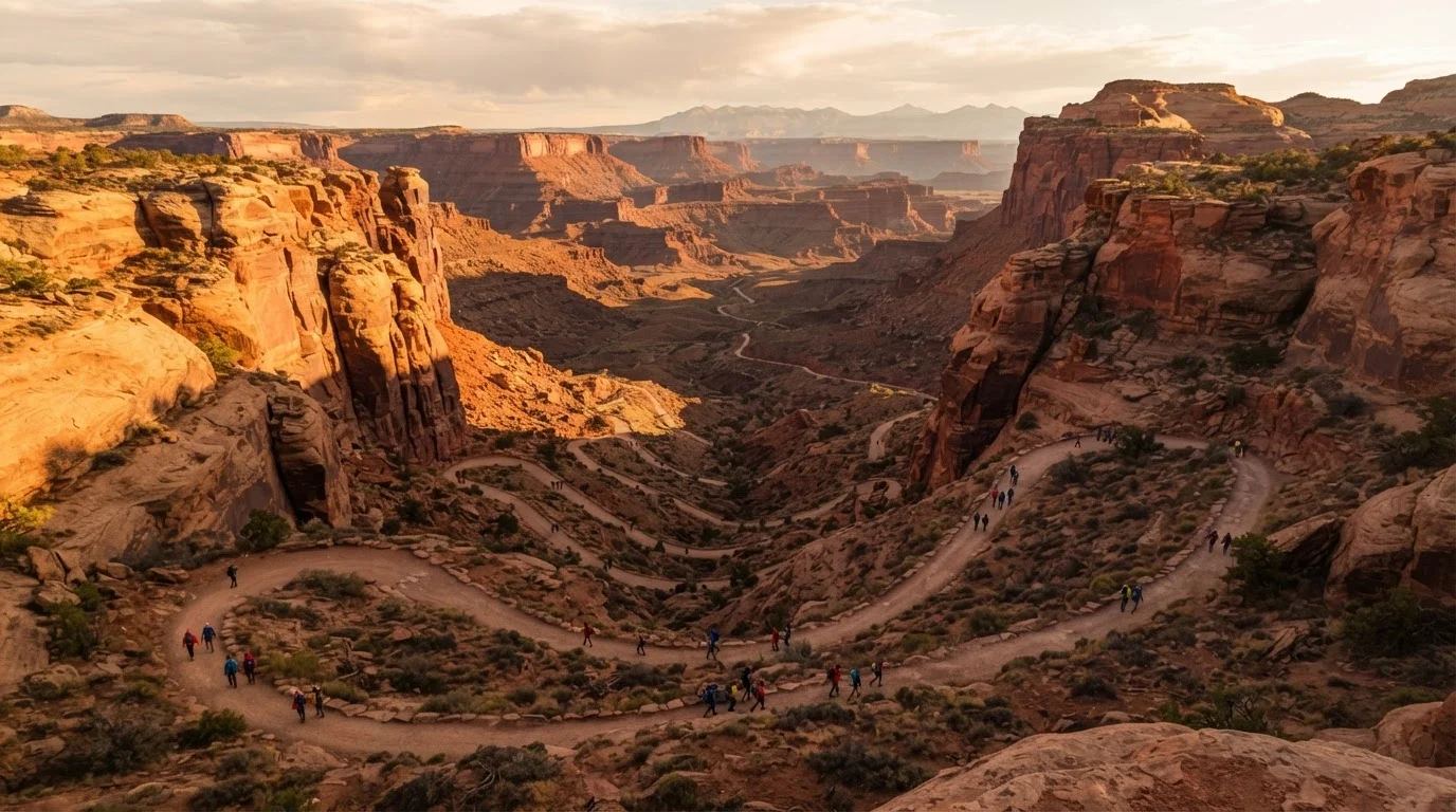
For context on how dramatically American landscapes can differ from one another, it's worth knowing that the canyon country of the Southwest - explored in our landscape guide for first-time visitors - sits in a completely different geological story than the mountain systems described here. The contrast alone is part of the education.
The Cascades (Washington and Oregon)
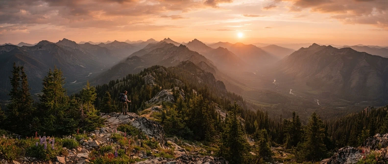
Most people know Mount Rainier or Crater Lake as individual landmarks, but the Cascade Range is a 700-mile volcanic spine running from northern California through Oregon and Washington into British Columbia. Volcanically active and geologically young, it contains some of the most dramatic scenery in North America - and much of it sits outside the marquee parks.
The Enchantments wilderness area in Washington's Alpine Lakes Wilderness, for example, requires a lottery permit but delivers a concentrated alpine landscape unlike anything in the lower 48. The Mount Jefferson Wilderness in Oregon offers a comparable experience with somewhat less competition for permits. Snow can linger well into July at higher elevations; check current trail conditions with the US Forest Service before planning any high-route travel.
The Cascades stretch 700 miles as a volcanically active spine most visitors barely scratch the surface of.
The Black Hills (South Dakota and Wyoming)
Often overshadowed by their most famous tenant - Mount Rushmore - the Black Hills are an island of ancient granite rising abruptly from the surrounding plains. They're among the oldest exposed rock formations in North America, geologically unrelated to the Rockies despite their proximity.
Custer State Park, within the Black Hills, sustains one of the largest free-roaming bison herds in the country. Jewel Cave National Monument contains more than 200 miles of surveyed passages, making it one of the longest known cave systems in the world. The region also holds deep cultural significance for the Lakota people, and travelers benefit from approaching that history with attention and respect.
The Black Hills are ancient granite islands - geologically distinct from the Rockies and culturally significant to the Lakota.
The Ozark Highlands (Arkansas and Missouri)
Technically a dissected plateau rather than a true mountain range, the Ozarks feel unmistakably highland in character - forested ridges, clear spring-fed rivers, and hollows that hold their own distinct Appalachian-adjacent culture. Elevations are modest (Buffalo National River's surrounding bluffs top out around 2,500 feet), but the landscape punches above its altitude.
The Buffalo National River in Arkansas, the first river in the US designated a national river, is one of the finest float trips in the country. Table Rock Lake and the Spring River draw anglers and paddlers throughout the warmer months. Fall foliage in the Ozarks rivals anything in New England for color saturation, and with a fraction of the crowds.
The Buffalo National River - America's first federally designated national river - runs through the heart of the Ozarks.
The Adirondacks (New York)
Technically neither the Rockies nor the Appalachians, the Adirondacks form their own geological entity: a dome of ancient metamorphic and igneous rock in upstate New York, surrounded by one of the largest parks in the contiguous US. Adirondack Park covers roughly six million acres - larger than Yellowstone, Yosemite, Grand Canyon, and Great Smoky Mountains combined - and includes a patchwork of public and private land.
The High Peaks Wilderness contains 46 summits above 4,000 feet. Mount Marcy, the state's highest point at 5,344 feet, is accessible to fit hikers with a multi-mile round trip. The region is also known for its iconic Great Camps architecture, lake culture, and year-round outdoor recreation from ice climbing to flat-water paddling.
Adirondack Park is larger than several of America's most famous national parks combined - yet it often goes underestimated.
The Wrangell-St. Elias Ranges (Alaska)
For travelers willing to go further afield, the Wrangell-St. Elias region in Alaska operates at a different scale entirely. Wrangell-St. Elias National Park and Preserve is the largest national park in the United States - larger than the entire country of Switzerland - and contains nine of the sixteen highest peaks in North America.
Access is limited and logistics require real planning: the two main road corridors are unpaved, and many areas of the park are only reachable by small plane. But for those who make the effort, the reward is a mountain and glacier landscape largely unchanged since the last Ice Age. Visitor numbers remain remarkably low for a park of its stature, making it one of the genuinely wild places left on the American map.
Wrangell-St. Elias is larger than Switzerland and holds nine of North America's sixteen highest peaks.
The Ouachita Mountains (Arkansas and Oklahoma)
Neighboring the Ozarks but geologically separate, the Ouachita Mountains run east-west - an unusual orientation for North American ranges - and are among the oldest mountains in the central part of the continent. Novaculite, a fine-grained silica rock quarried here for thousands of years, gives the region a distinctive geological character.
Ouachita National Forest, the oldest national forest in the South, covers more than 1.8 million acres and offers 700-plus miles of trails including the Ouachita National Recreation Trail, a 223-mile route traversing the full range. Hot Springs National Park sits on the range's eastern edge - its famous thermal springs and Bathhouse Row representing a very different kind of mountain-region draw.
The Ouachita Mountains run east-west, a rare orientation that signals their ancient and geologically distinct origins.
Planning Your Visit to a Lesser-Known Range
Traveling to less-trafficked mountain areas comes with a different checklist than visiting a heavily managed national park. Infrastructure varies widely - some ranges have well-marked trail systems and visitor centers, others have rough forest roads and minimal signage. Before you go, check current conditions with the relevant national forest or state park authority, not just a travel blog.
Confirm Access Before You Go
Many of the ranges described here include areas managed by the US Forest Service, Bureau of Land Management, or state agencies - each with their own permit systems, seasonal road closures, and fire restrictions. Always check the managing agency's official website for current conditions rather than relying solely on third-party apps or guidebooks, which may lag behind real-time changes.
If you're drawn to quieter destinations in general, our guide to shoulder season travel across the US explores which American destinations genuinely reward spring and fall visits - and many of the ranges here fit that profile well. For a broader approach to researching any unfamiliar destination thoroughly, destination research beyond the top-ten list offers practical, step-by-step guidance.